top of page
02
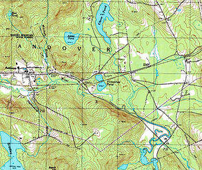
NH GRANITview is a web-based mapping tool that allows the viewer to navigate and access a variety of data layers to interact with.
Below are buttons to access arcGIS for Andover wetlands. Big thanks to Colby Sawyer
The following maps may be outdated, but they are included for comparison and historical perspective.

bottom of page